
For questions about municipal activities such as zoning, land-use, permits, incentives
Jason Jede, Economic Development Officer, Starland County 403-772-3793 | [email protected] https://www.starlandcounty.com/
Overview
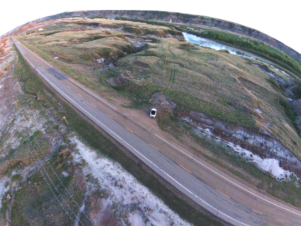
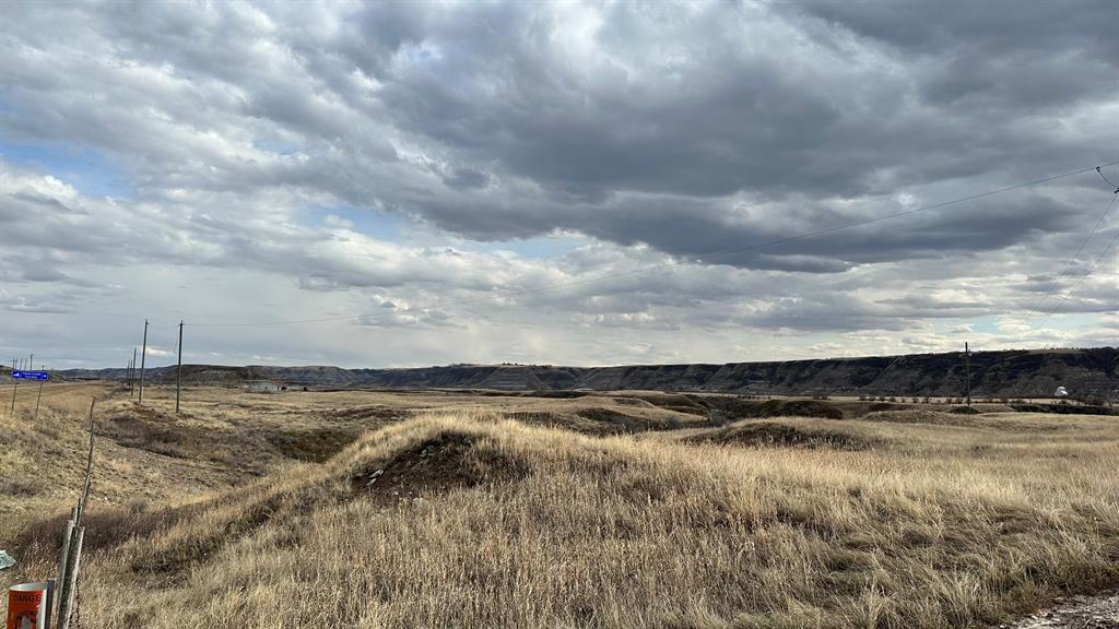
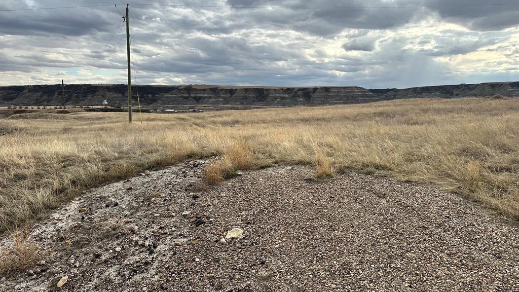
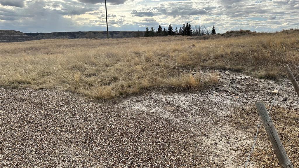
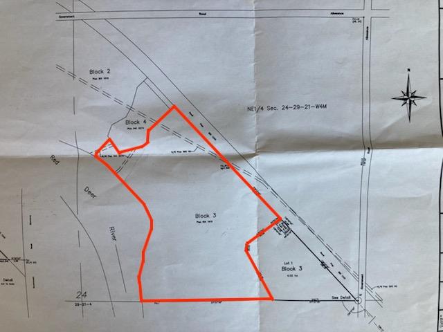
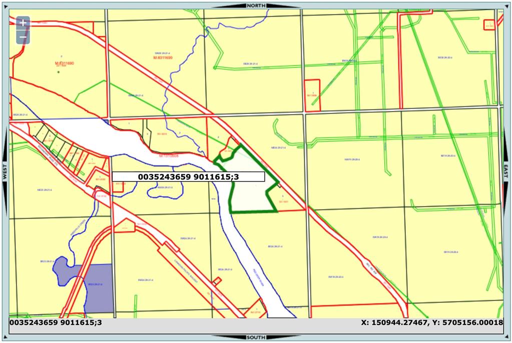
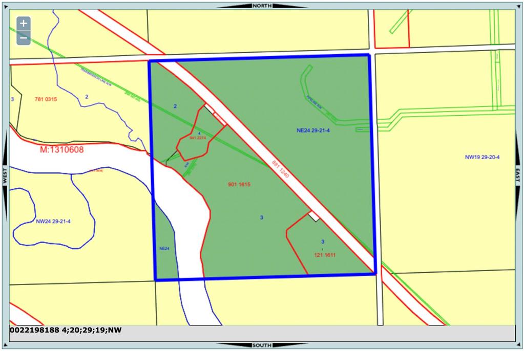
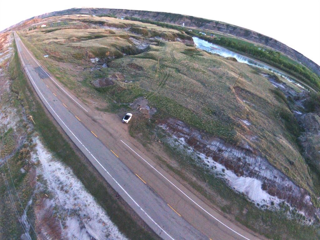
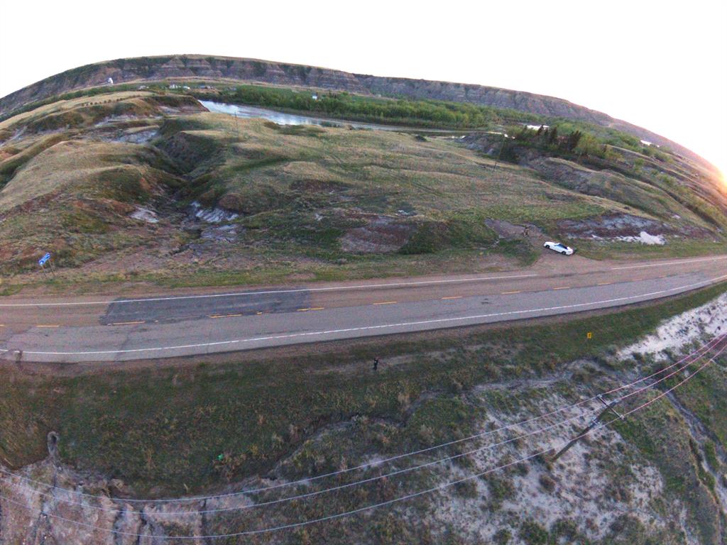
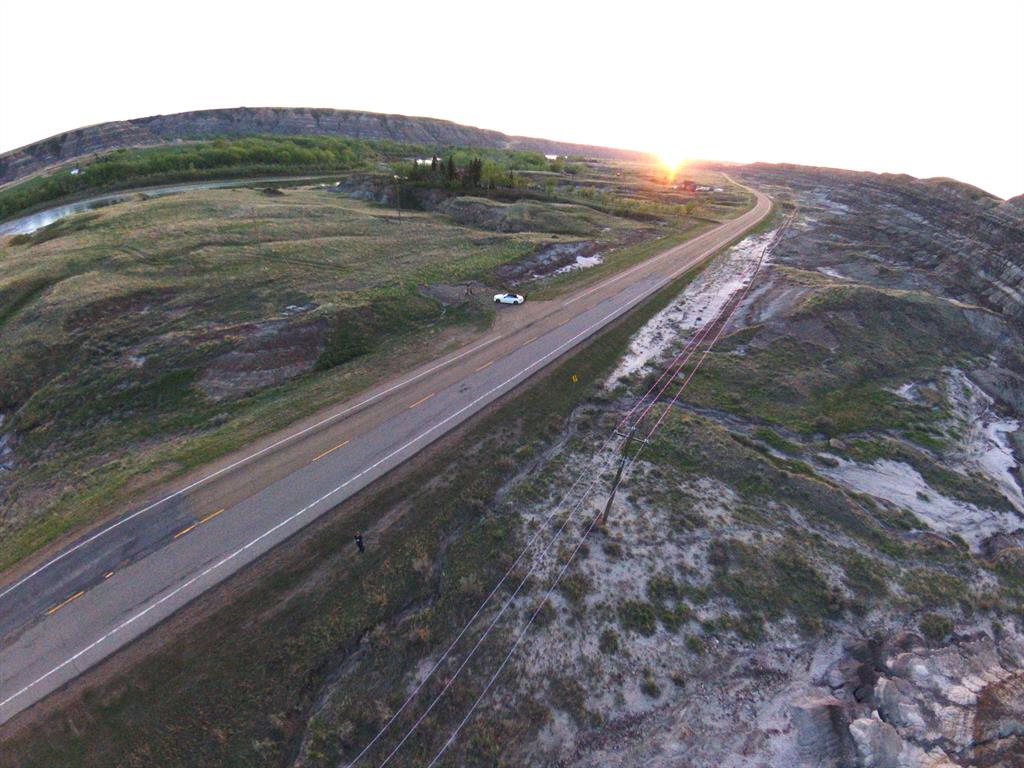
River View Commercial Lands! Large 40.69 Acres of commercial land just past the Royal Tyrrell Museum. LINC#: 0035243659 | Legal Pln: 9011615 Blk: 3 | Zoning: RCI (Rural Commercial and Industrial District) Permitted uses include Agricultural Industrial • Convenience Stores • Drive-in Businesses • Gasoline Service Stations • Industrial, Manufacturing, Storage, Processing & Warehousing • Light Industrial uses such as small workshops and the storage of goods, vehicles etc. • Restaurants • Wholesale and Retail Uses, and more! And we can discuss any other uses with the county.
Details
Available Space:
41ac
Price:
$620,000
Location Street Address:
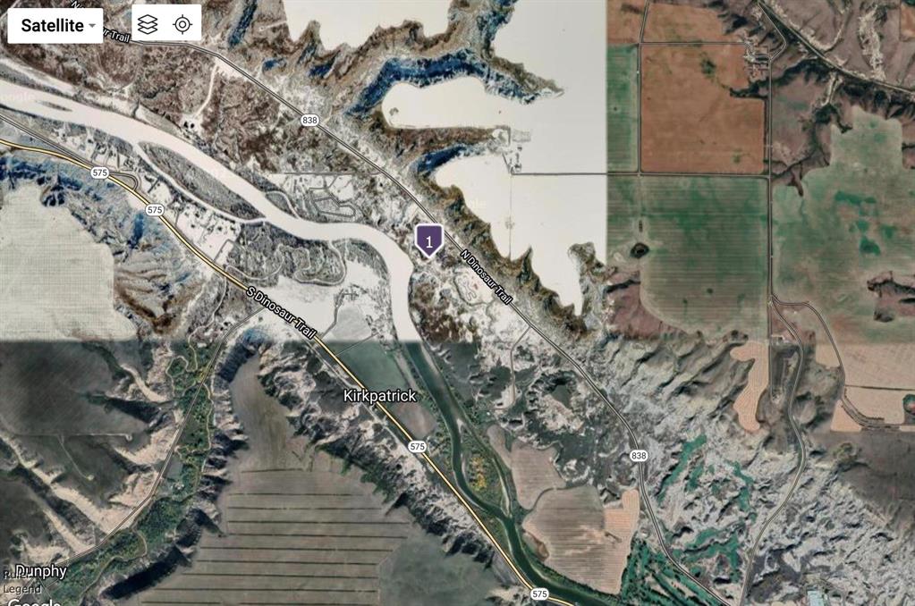
HIGHWAY 838 North Dinosaur Trail
Property Types:
Land
Infrastructure Details
Note: distances are in straight line, rather than driving distances
Note: distances are in straight line, rather than driving distances
Nearest highways:
- Highway 838 - Less than 1 km
- Highway 575 - Less than 1 km
- Highway 837 - 1.89 km
- Highway 9 - 9.16 km (High Load Corridor)
- Highway 841 - 9.9 km
Nearest hospital:
- Drumheller Health Centre - 7.57 km
Nearest airports:
- International: Calgary International Airport - 92.8km
Nearest Historic Site
- Historic site designation: 5ap
- HRV(5): high potential to contain a historic resource
- Category (ap): archaeological, palaeontological
Nearest powerlines:
- ATCO - 7L25 144kv - 5.34 km
Nearest substations:
- MICHICHI CREEK - 802S , ATCO - 6.76 km
Nearest irrigation systems:
- Within 44.11 km
Nearest railways:
- Canadian National, Class : Main - 2.53 km
Nearest gas franchise area:
- Big Country Gas Co-op Ltd.
Nearest Power Plant:
-
Fox Coulee Solar (FCS1), Subra Limited Partnership - 4.28 km
Solar, 75 MW
Fibre Internet Availability:
- Extensible
- Availability is estimated. Contact an internet service provider for more information.
Nearest Rail Terminals
| Type | Name | Operated By | Types of Products Shipped | Distance |
|---|---|---|---|---|
| Grain | CN Equity Grain Terminal | Cargill Ltd. |
|
40.28 KM |
| Grain | CN Trochu Grain Terminal | Viterra Inc. |
|
43.92 KM |
| Grain | CN Huxley Grain Terminal | GrainsConnect Canada |
|
54.08 KM |
| Grain | CP Long Plain | Paterson Grain |
|
72.2 KM |
| Transload | CP Stettler (FENN) | Candian Heartland Training Railway Services |
|
74.85 KM |
Highways
Airports
International
Regional
Local
Railways
Rail Stations
Powerlines
Substations
Irrigation
Community Economic Highlights: Starland County, AB

Drumheller Municipal Airport is located within Starland County

Starland County is a leader in agriculture compared to other municipalities in Alberta.

Starland County's workforce is specialized in Agriculture and Forestry, and Oil and Gas Extraction.
Community Economic Details: Starland County, AB
Click on a tile to open the indicator page and view more details.
| Site Data Provided by: | Pillar9 ™ |
| The information provided on property listing pages is sourced from third-party data providers. While we make every effort to ensure the accuracy of the information presented, we cannot guarantee its completeness or correctness. Users are advised to conduct their own due diligence and verify all details independently. The Government of Alberta, its agencies, and affiliates shall not be held liable for any inaccuracies or omissions in the property listings or for any actions taken in reliance on the information provided herein. Use of the information provided on property listing pages is at all times subject to the terms of the Disclaimer and Terms of Use. | |