For questions about municipal activities such as zoning, land-use, permits, incentives
Town of Mayerthorpe 780-786-2416 | [email protected] https://www.mayerthorpe.ca
Overview
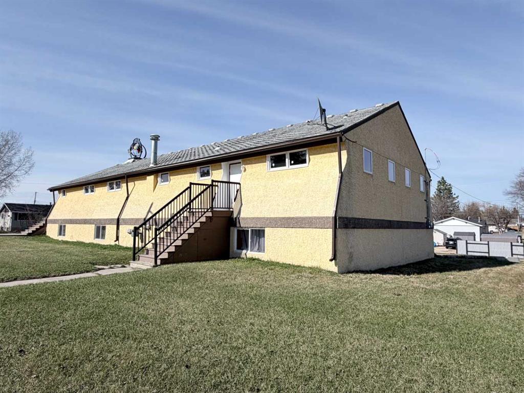
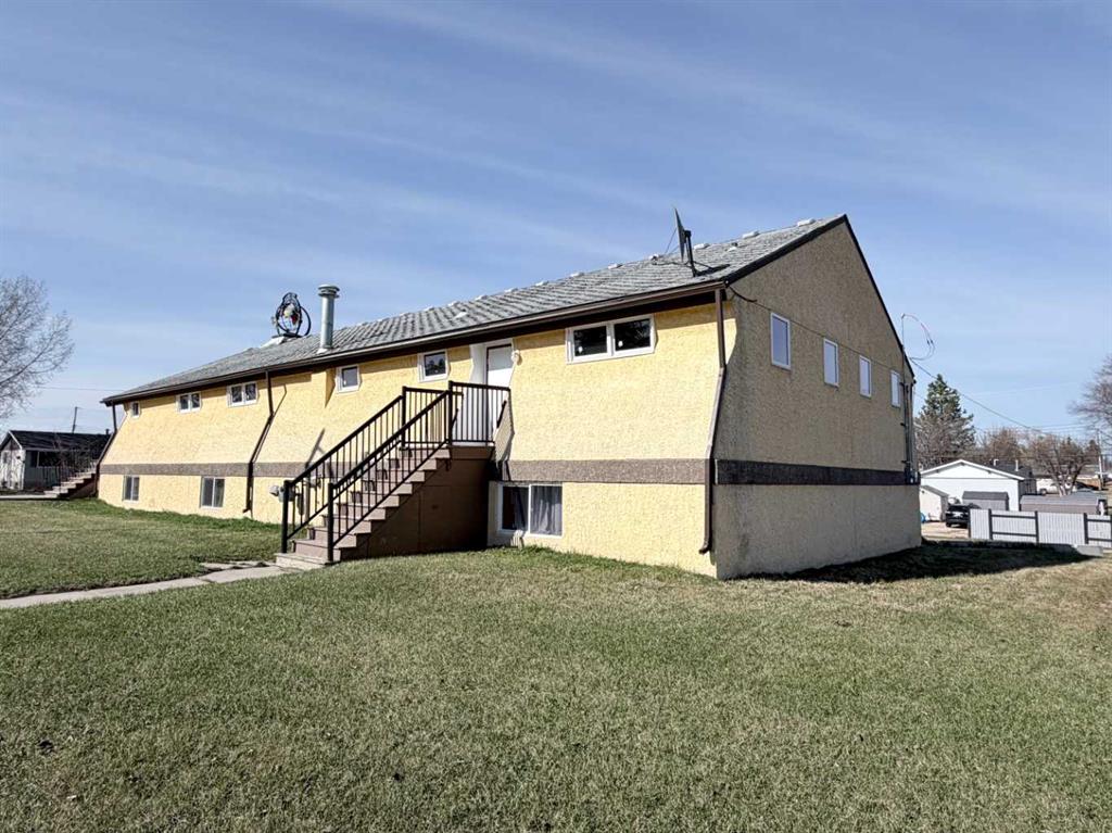
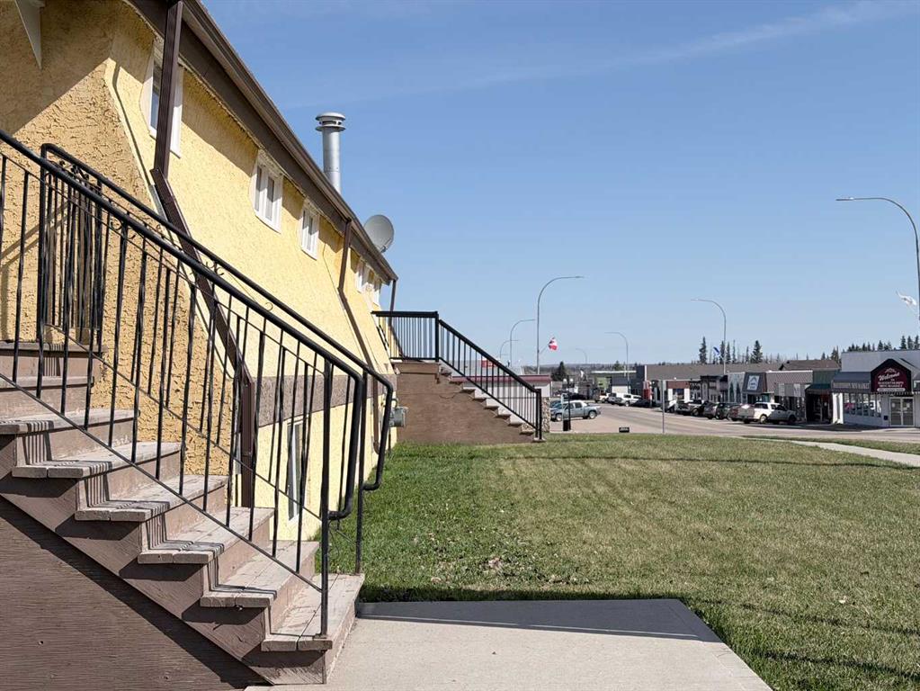
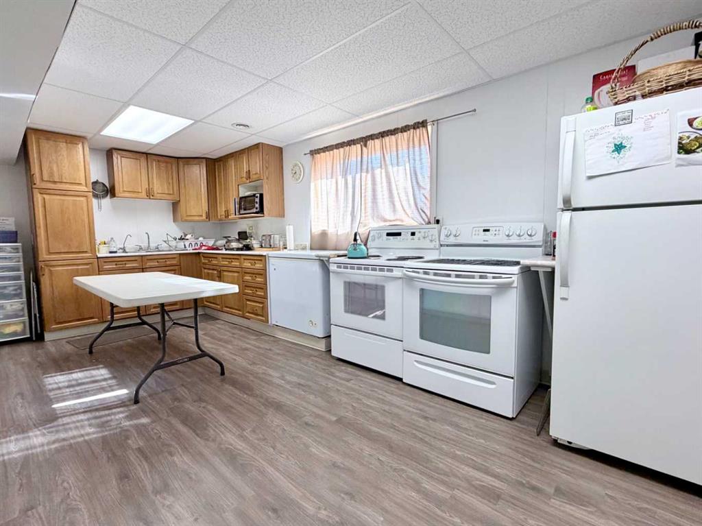
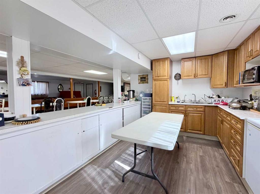
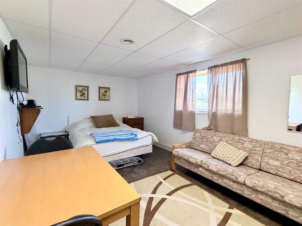
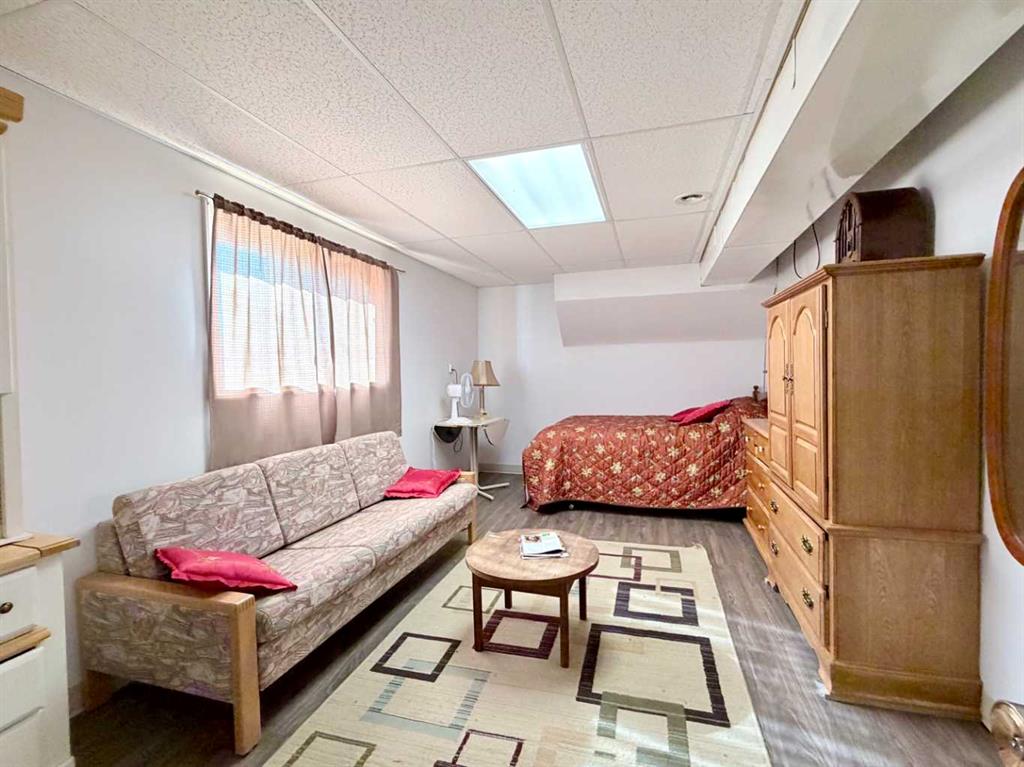
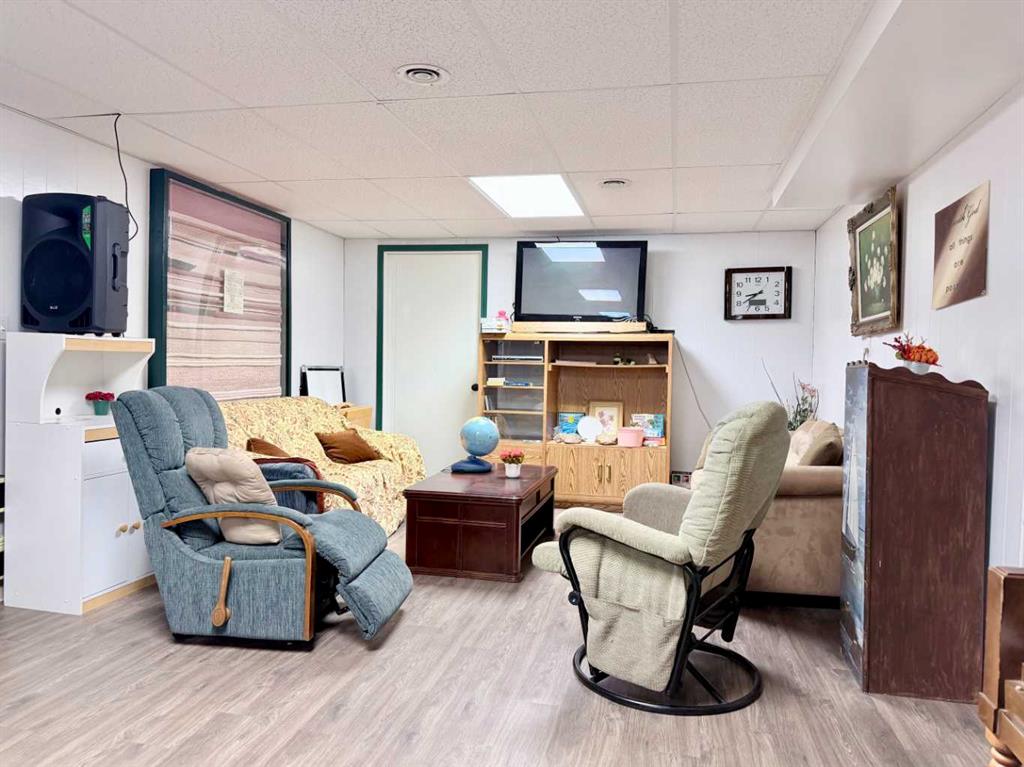
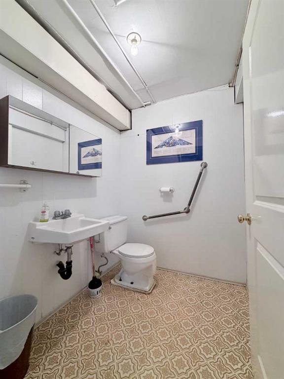
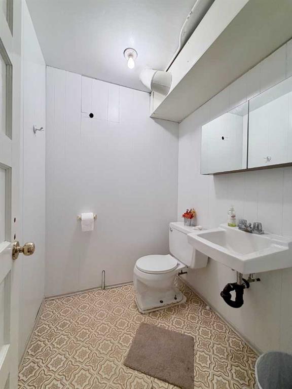
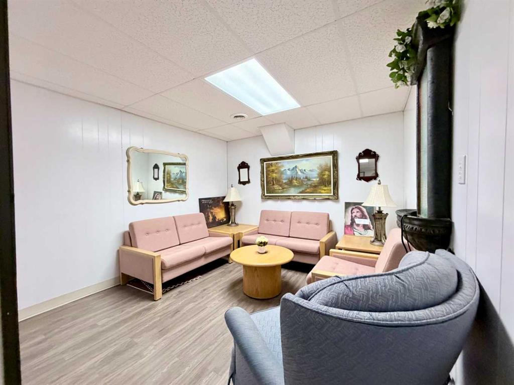
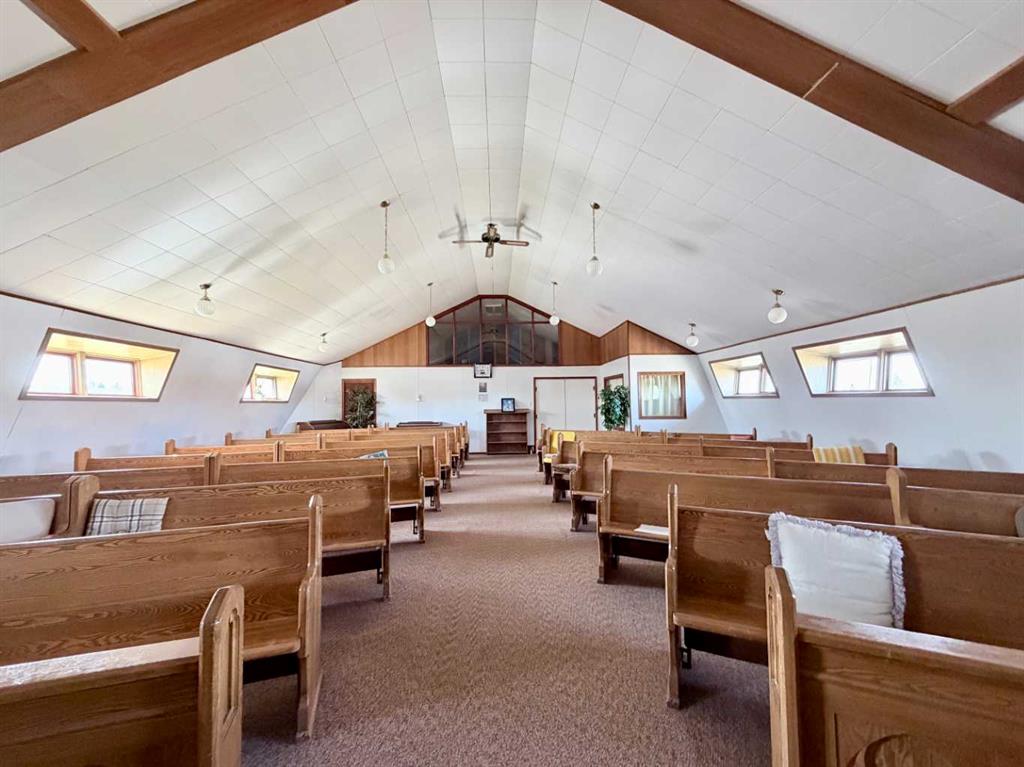
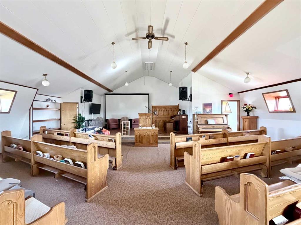
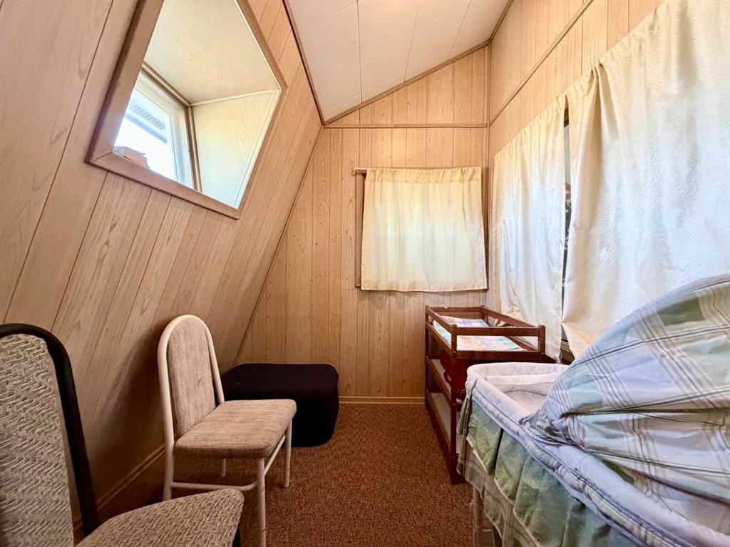
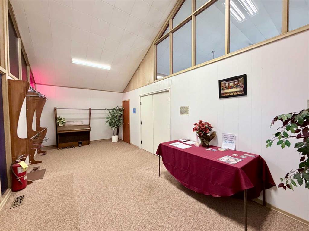
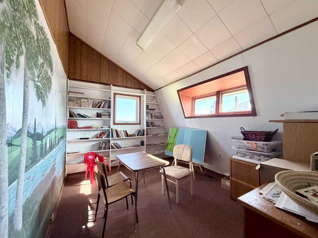
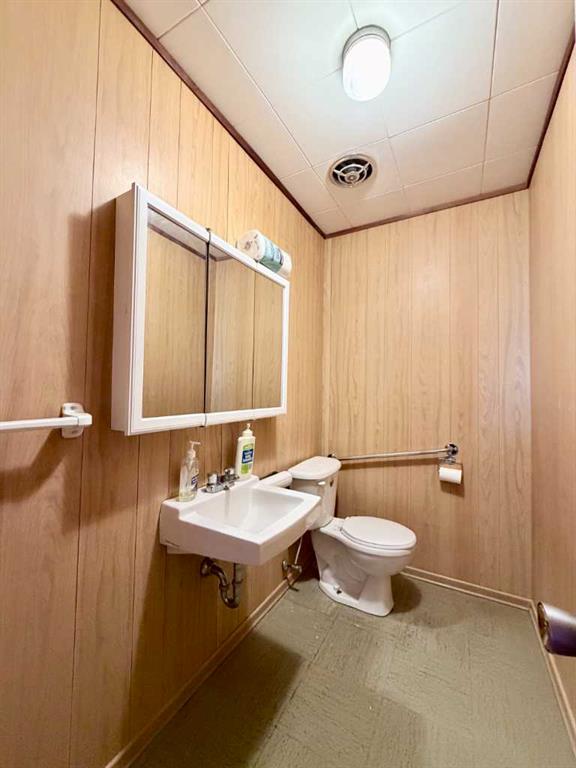
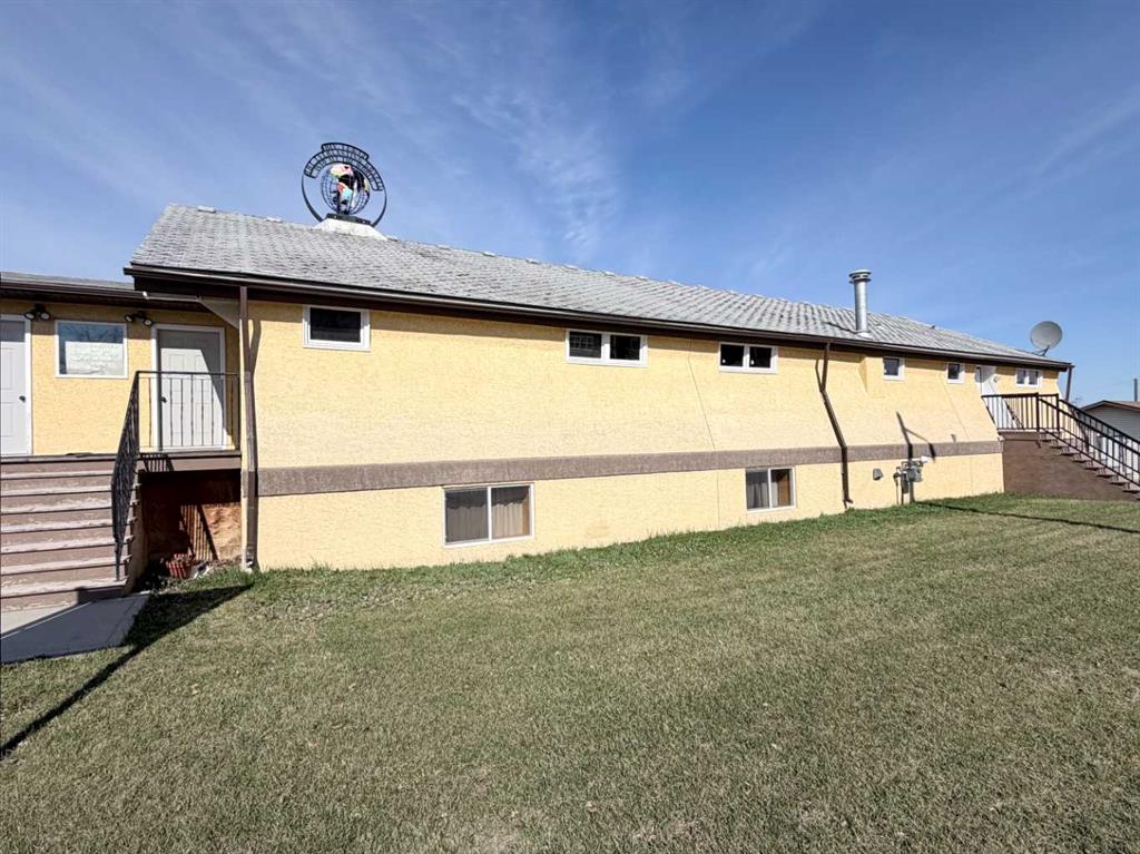
Unique opportunity with exceptional potential! This 3,120 sq. ft. church property, originally built in 1966, offers a versatile layout and Urban Services zoning that opens the door to a wide variety of future uses. The upper level features the main sanctuary/worship area along with a 2-piece bathroom, while the fully developed lower level includes 2 bedrooms, a full kitchen with dual stoves, spacious dining and gathering areas, multiple sitting/living room spaces, ample storage, laundry facilities with tub/shower and sink, plus two additional 2-piece bathrooms. Whether you continue operating as a place of worship or reimagine the property for another community-focused use, the possibilities are extensive. The current zoning allows for numerous permitted and discretionary uses including a daycare facility, assisted living or family care facility, emergency accommodation, educational or recreational facility, private club or lodge, government or community services, eating and drinking establishment, museum or gallery, youth centre, group housing-style accommodation, and more (subject to municipal approval where required). The functional layout, large common spaces, multiple washrooms, kitchen facilities, and flexible lower-level living areas make this a rare and adaptable property with strong potential for community, institutional, or service-oriented uses.
Details
Available Space:
3120ft²
Price:
$324,900
Location Street Address:
4706 50 Street
Space Year Built:
1966
Property Types:
Other
Infrastructure Details
Note: distances are in straight line, rather than driving distances
Note: distances are in straight line, rather than driving distances
Nearest highways:
- Highway 22 - Less than 1 km (High Load Corridor)
- Highway 43 - Less than 1 km (High Load Corridor)
- Highway 18 - 6 km (High Load Corridor)
- Highway 751 - 18.02 km
- Highway 647 - 18.97 km
Nearest hospital:
- Mayerthorpe Healthcare Centre - 0.63 km
- Whitecourt Healthcare Centre - 40.34 km
- Barrhead Healthcare Centre - 51.87 km
- Drayton Valley Hospital and Care Centre - 83.16 km
- Westlock Healthcare Centre - 86.96 km
Nearest airports:
- Local: Whitecourt Airport - 47.49km
- International: Edmonton International Airport - 125.51km
Nearest powerlines:
- AltaLink - 799L 138kv - 4.53 km
Nearest substations:
- SOUTH MAYERTHORPE - 443S , AltaLink - 4.25 km
Nearest railways:
- Canadian National, Class : Main - 0.39 km
Nearest gas franchise area:
- ATCO Gas - Town Of Mayerthorpe
Nearest Power Plant:
-
Whitecourt Power (EAGL), Whitecourt Power Ltd. - 45.42 km
Biomass and Other, 25 MW
Fibre Internet Availability:
- Ready/Available
- Availability is estimated. Contact an internet service provider for more information.
Nearest Rail Terminals
| Type | Name | Operated By | Types of Products Shipped | Distance |
|---|---|---|---|---|
| Yard | CN Wabamun Yard | Canadian National |
|
62.05 KM |
| Yard | CN Westlock Yard | Canadian National |
|
86.24 KM |
| Grain | CN Westlock Grain Terminal | Westlock Terminals Ltd. |
|
86.56 KM |
| Yard | CN Stony Plain Yard | Canadian National |
|
88.26 KM |
| Transload | CN Edson | CN DISTRIBUTION CENTRE |
|
94.89 KM |
Highways
Airports
International
Regional
Local
Railways
Rail Stations
Powerlines
Substations
Irrigation
Community Economic Highlights: Mayerthorpe, AB

Mayerthorpe's workforce is specialized in 'Manufacturing', 'Real Estate', and 'Retail Trade'.

Mayerthorpe is a business hub for utilities, agriculture, and oil and gas sectors.

Mayerthorpe Healthcare Centre is located in Mayerthorpe.
Community Economic Details: Mayerthorpe, AB
Click on a tile to open the indicator page and view more details.
| Site Data Provided by: | Pillar9 ™ |
| The information provided on property listing pages is sourced from third-party data providers. While we make every effort to ensure the accuracy of the information presented, we cannot guarantee its completeness or correctness. Users are advised to conduct their own due diligence and verify all details independently. The Government of Alberta, its agencies, and affiliates shall not be held liable for any inaccuracies or omissions in the property listings or for any actions taken in reliance on the information provided herein. Use of the information provided on property listing pages is at all times subject to the terms of the Disclaimer and Terms of Use. | |