
For questions about municipal activities such as zoning, land-use, permits, incentives
Town of Nanton 403-646-2029 | [email protected] https://www.nanton.ca
Overview
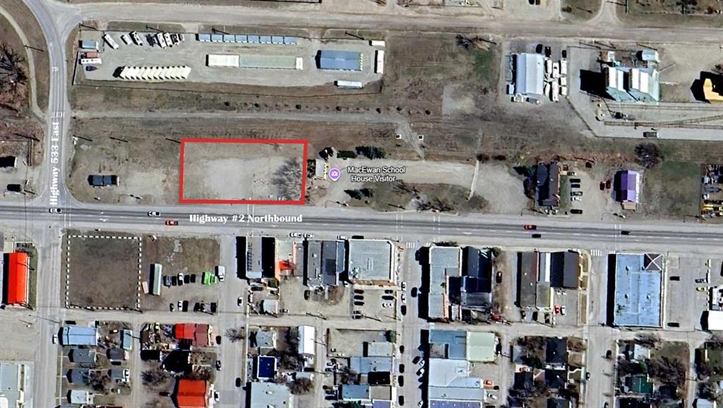
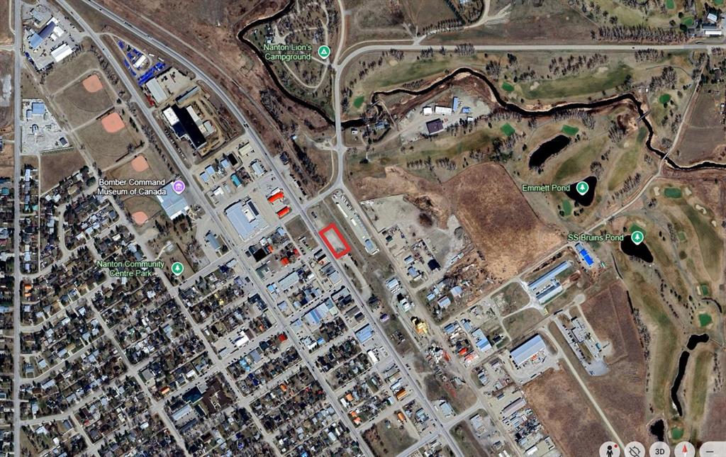
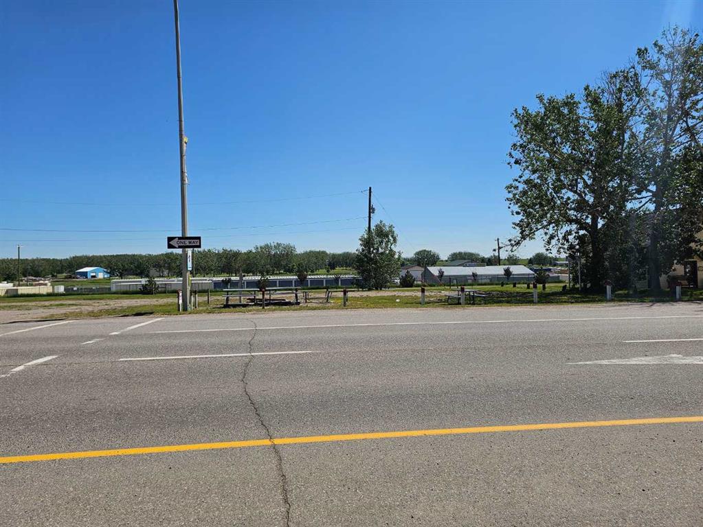
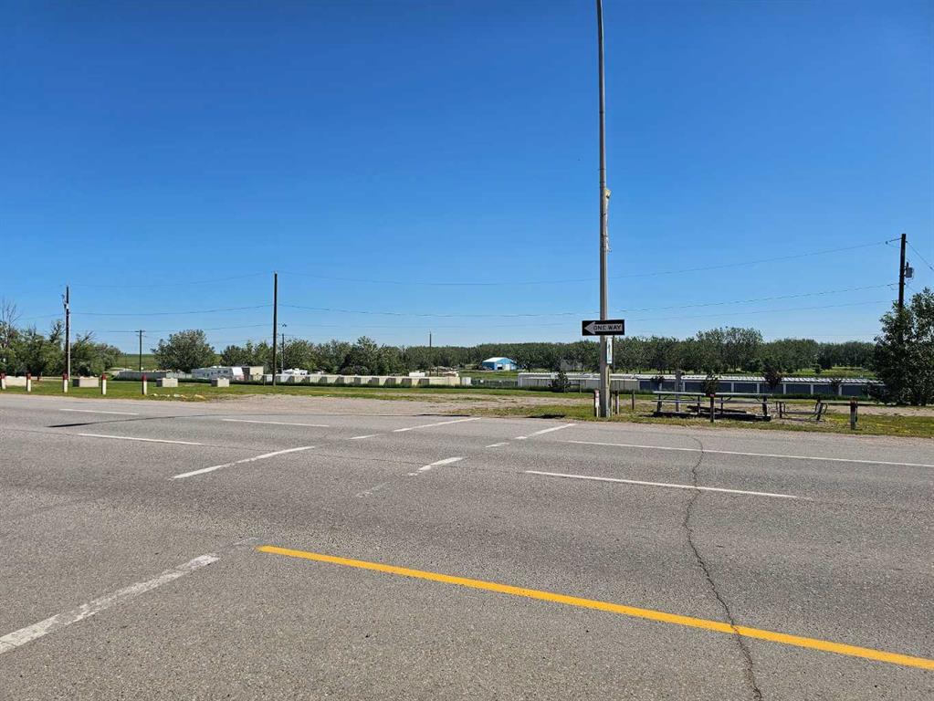
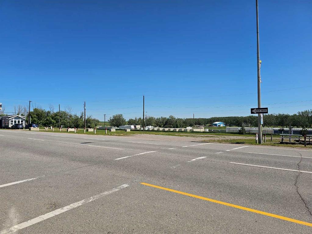
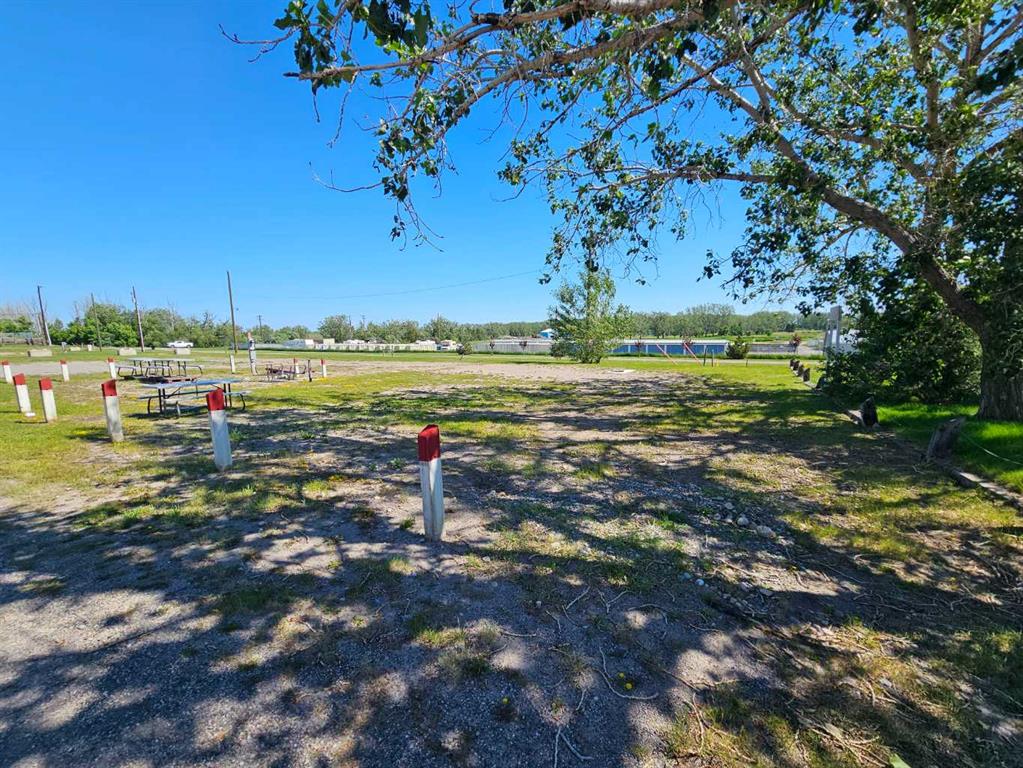
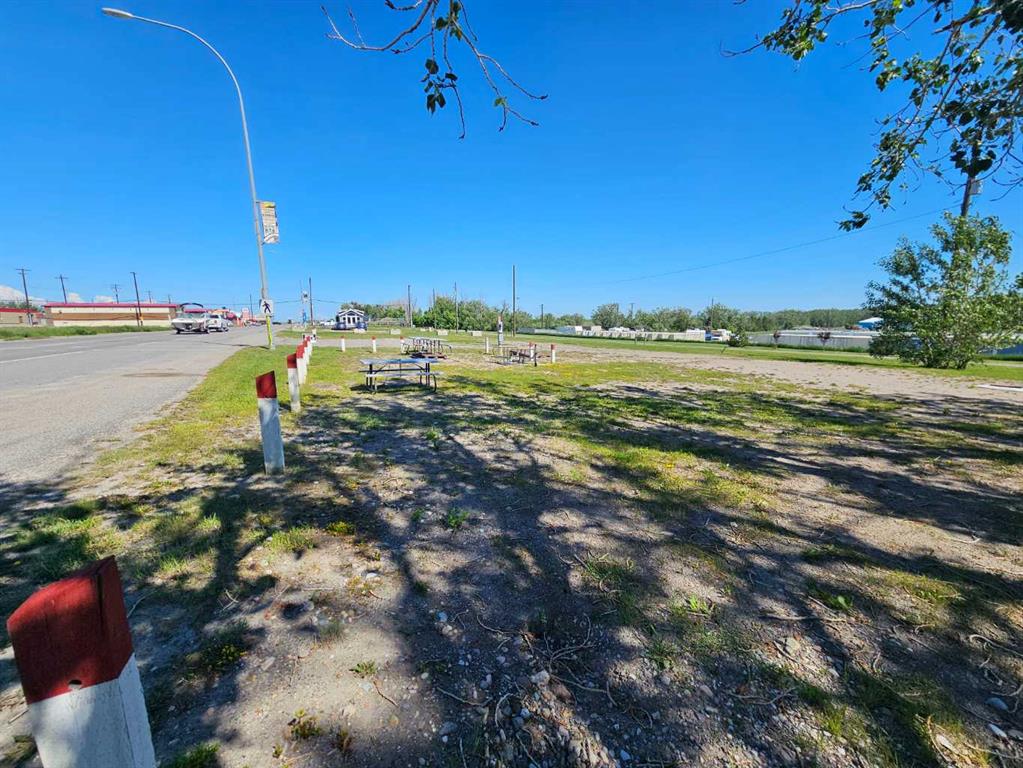
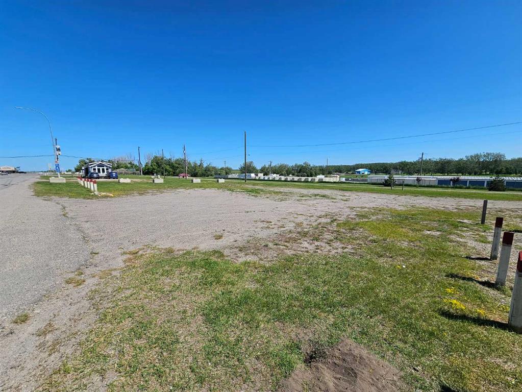
An exceptional development opportunity in the heart of the active Town of Nanton. These two separately titled lots, each measuring 100' x 100' less municipal reserve (refer to survey), are zoned Mixed-Use Downtown District and offer a combined 200 feet of highly visible frontage along Highway #2. The lots are serviced and provide excellent exposure for a wide range of development possibilities, subject to municipal approvals. For buyers seeking a larger land assembly, two additional separately titled lots located immediately to the north may also be available, creating the potential for a total of 400 feet of Highway #2 frontage. With no building commitments or development timelines, this is an outstanding opportunity to invest, develop, or hold for future growth in a prime location.
Details
Available Space:
0.44ac
Price:
$138,000
Location Street Address:
1820 and 1902 20 Avenue
Property Types:
Land
Infrastructure Details
Note: distances are in straight line, rather than driving distances
Note: distances are in straight line, rather than driving distances
Nearest highways:
- Highway 2 - Less than 1 km (High Load Corridor)
- Highway 533 - Less than 1 km
- Highway 540 - 15.56 km
- Highway 527 - 20.68 km
- Highway 23 - 24.77 km (High Load Corridor)
Nearest hospital:
- High River General Hospital - 26.33 km
- High River General Hospital Annex Building - 26.43 km
- Vulcan Community Health Centre - 36.85 km
- Claresholm General Hospital - 39.16 km
- Oilfields General Hospital - 49.18 km
Nearest airports:
- International: Calgary International Airport - 87.22km
Nearest Historic Site
- Historic site designation: 3h
- HRV(3): contains a significant historic resource that will likely require avoidance
- Category (h): historic period
Nearest powerlines:
- AltaLink - 1201L 500kv - 7.11 km
Nearest substations:
- STAVELY - 349S , AltaLink - 23.24 km
Nearest railways:
- Canadian Pacific, Class : Main - 32.16 km
Nearest gas franchise area:
- ATCO Gas - Town Of Nanton
Nearest Power Plant:
-
Parkland (ALP2), Campus Energy Partners LP - 16.41 km
Simple Cycle, 10 MW
Fibre Internet Availability:
- Ready/Available
- Availability is estimated. Contact an internet service provider for more information.
Nearest Rail Terminals
| Type | Name | Operated By | Types of Products Shipped | Distance |
|---|---|---|---|---|
| Gain | CP Blackie | Cargill |
|
30.52 KM |
| Grain | CP Vulcan | Richardson Pioneer |
|
37.86 KM |
| Grain | CP Carseland | Cargill |
|
58.23 KM |
| Grain | CP Carseland | Richardson Pioneer |
|
58.9 KM |
| Grain | CP Indus | Viterra |
|
61.01 KM |
Highways
Airports
International
Regional
Local
Railways
Rail Stations
Powerlines
Substations
Irrigation
Community Economic Highlights: Nanton, AB

Nanton's workforce is specialized in 'Manufacturing', and 'Transportation and Warehousing'.

Nanton is a business hub for 'Agriculture', 'Public Administration', and 'Arts, Entertainment and Recreation'.

Highway 2 passes through Nanton.
Community Economic Details: Nanton, AB
Click on a tile to open the indicator page and view more details.
| Site Data Provided by: | Pillar9 ™ |
| The information provided on property listing pages is sourced from third-party data providers. While we make every effort to ensure the accuracy of the information presented, we cannot guarantee its completeness or correctness. Users are advised to conduct their own due diligence and verify all details independently. The Government of Alberta, its agencies, and affiliates shall not be held liable for any inaccuracies or omissions in the property listings or for any actions taken in reliance on the information provided herein. Use of the information provided on property listing pages is at all times subject to the terms of the Disclaimer and Terms of Use. | |