For questions about municipal activities such as zoning, land-use, permits, incentives
Lethbridge County 403-328-5525 | [email protected] https://www.lethcounty.ca
Overview
See Full Listing
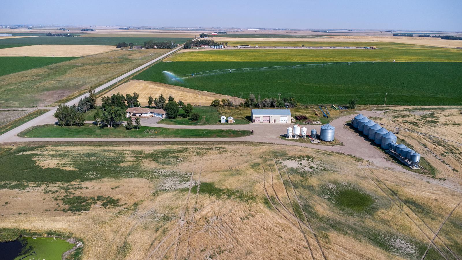
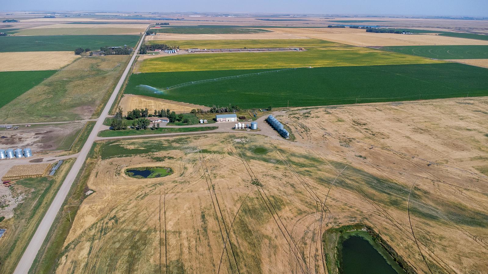
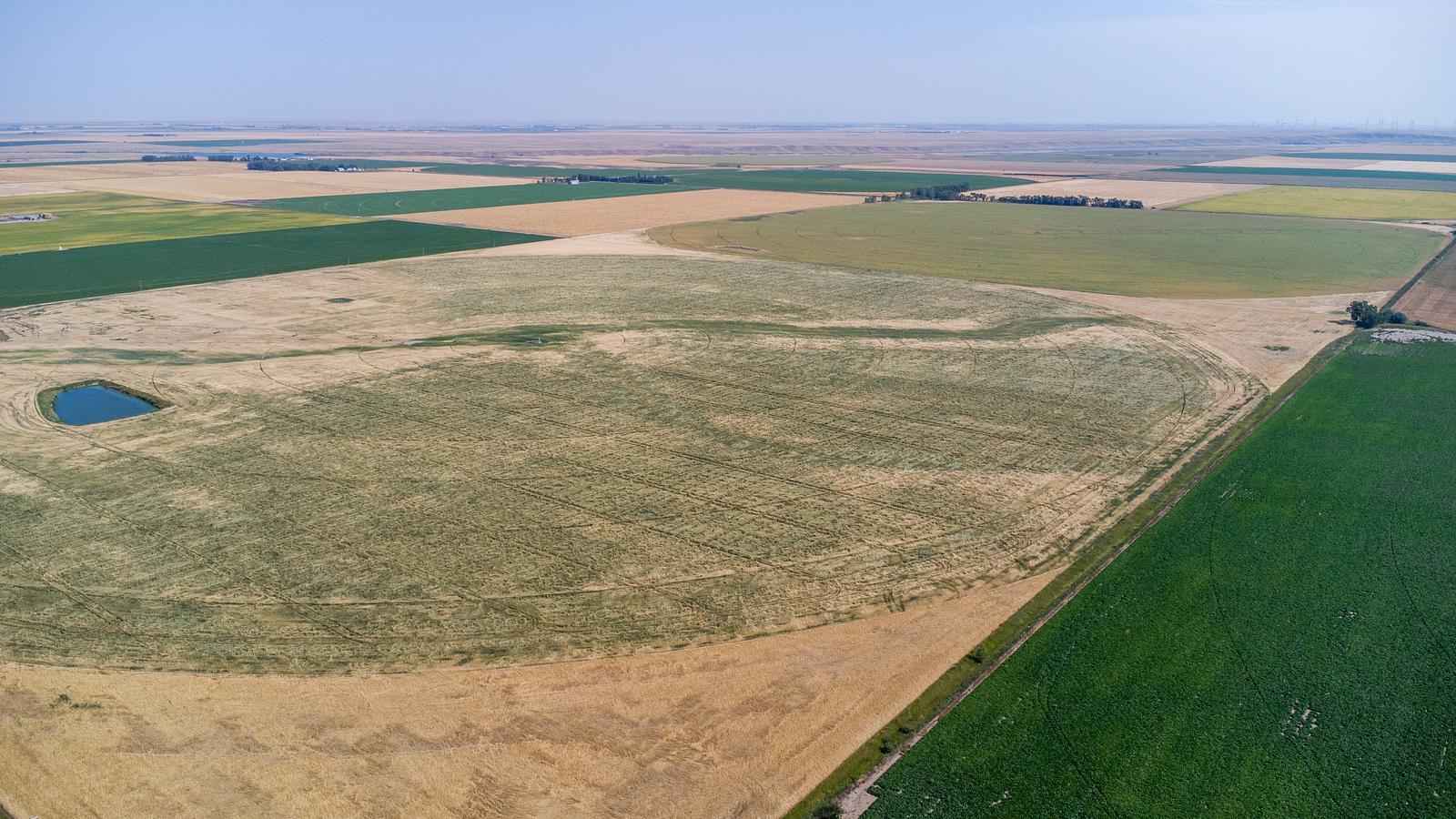
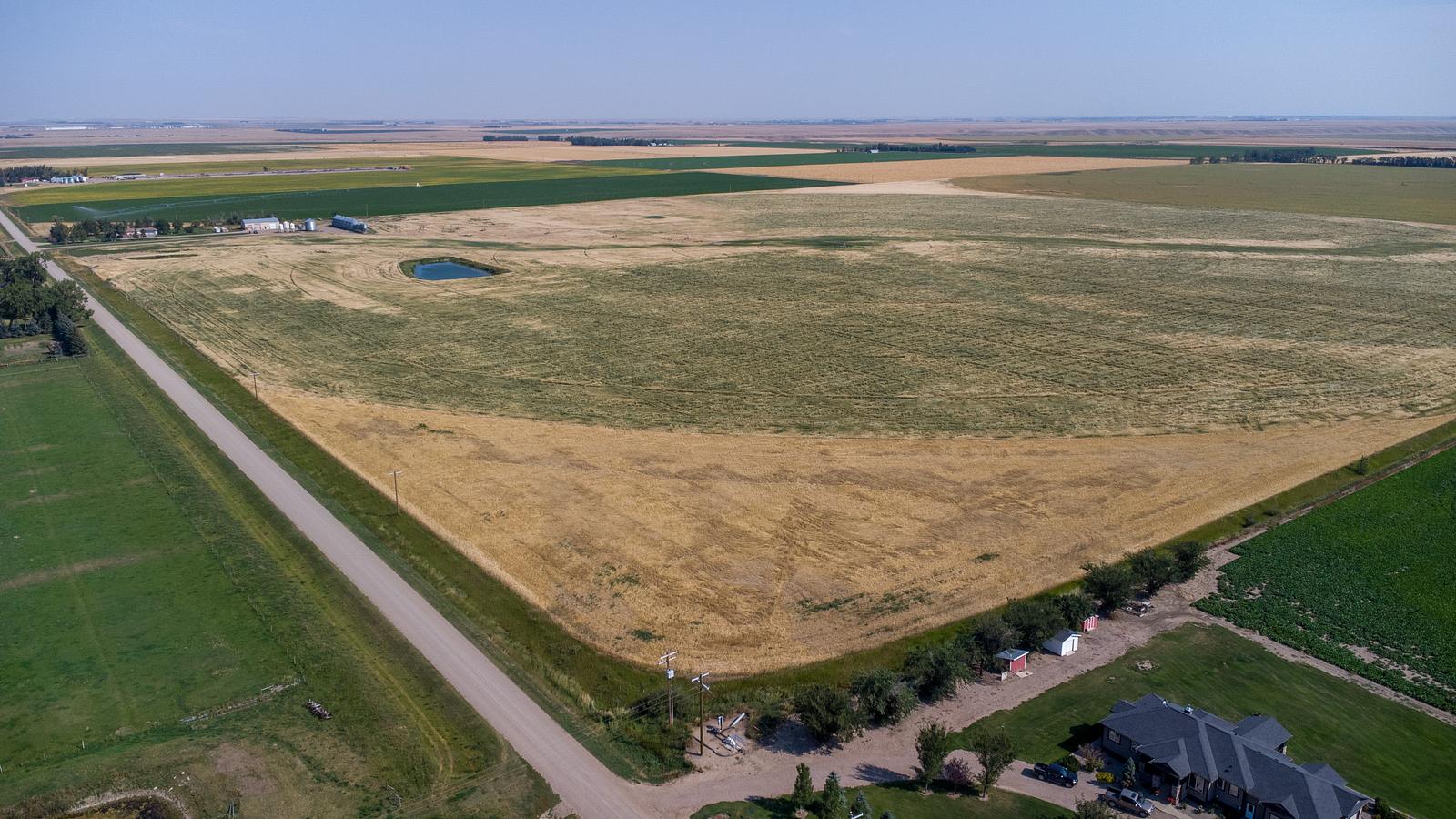
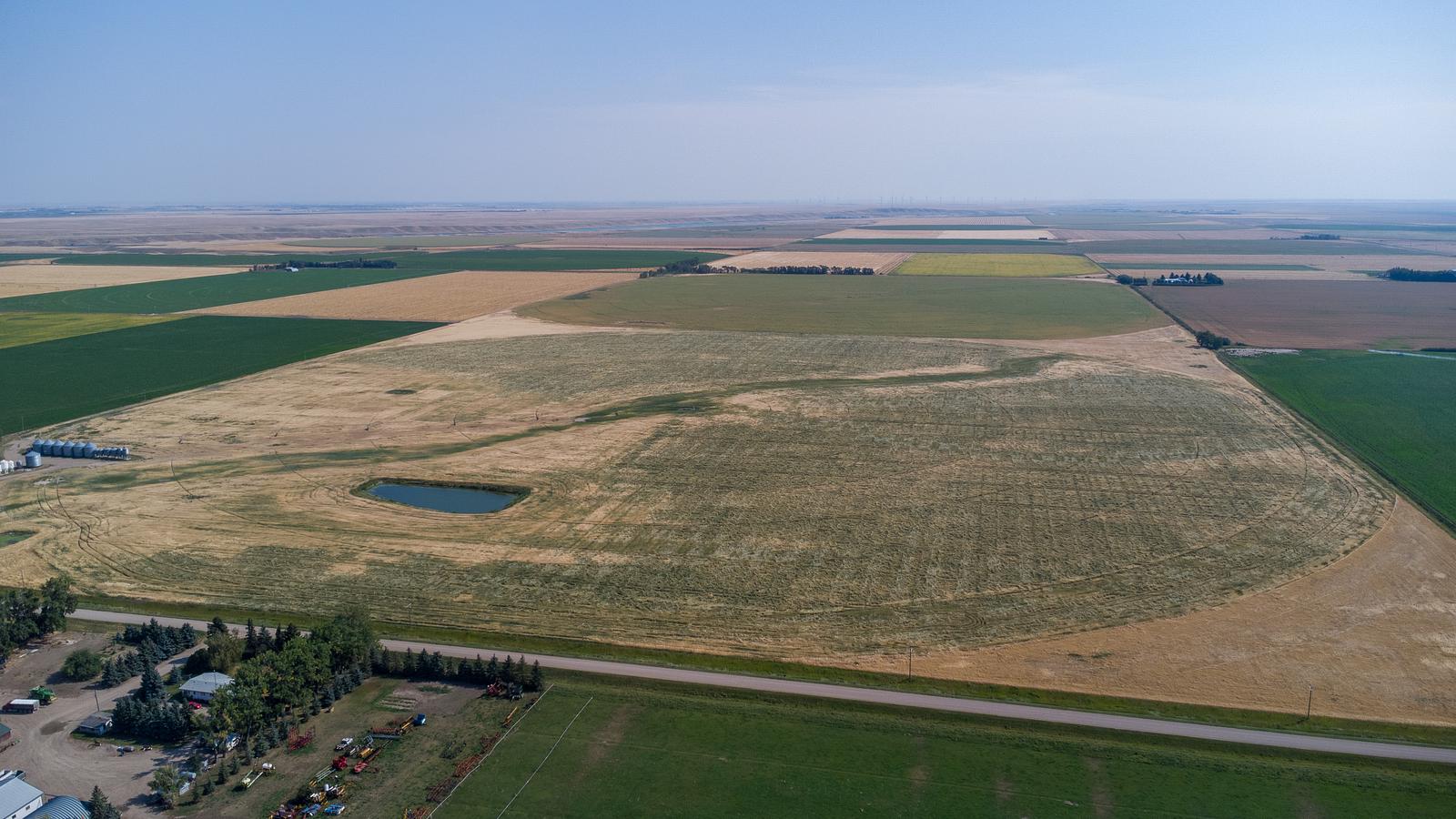
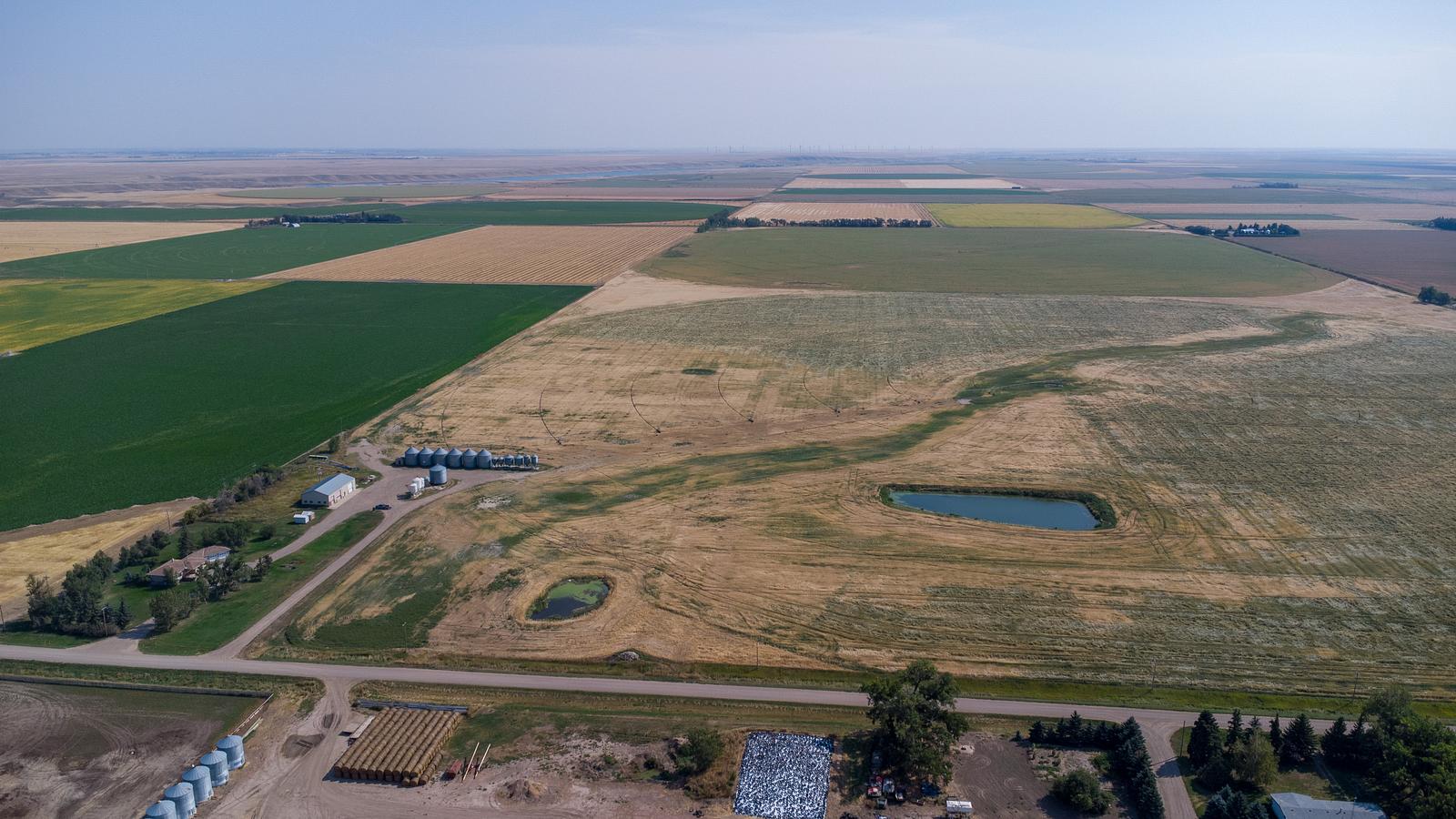
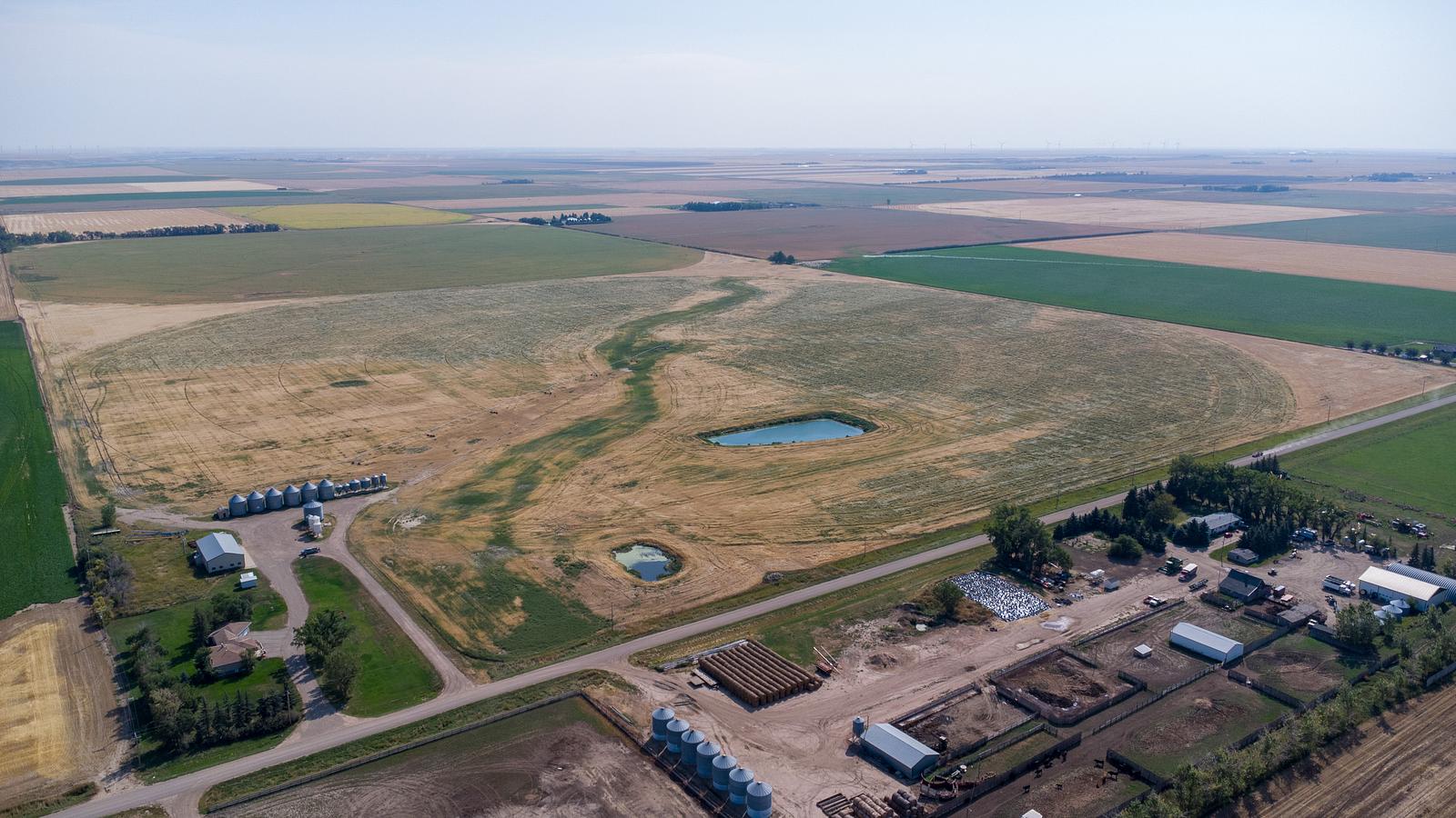
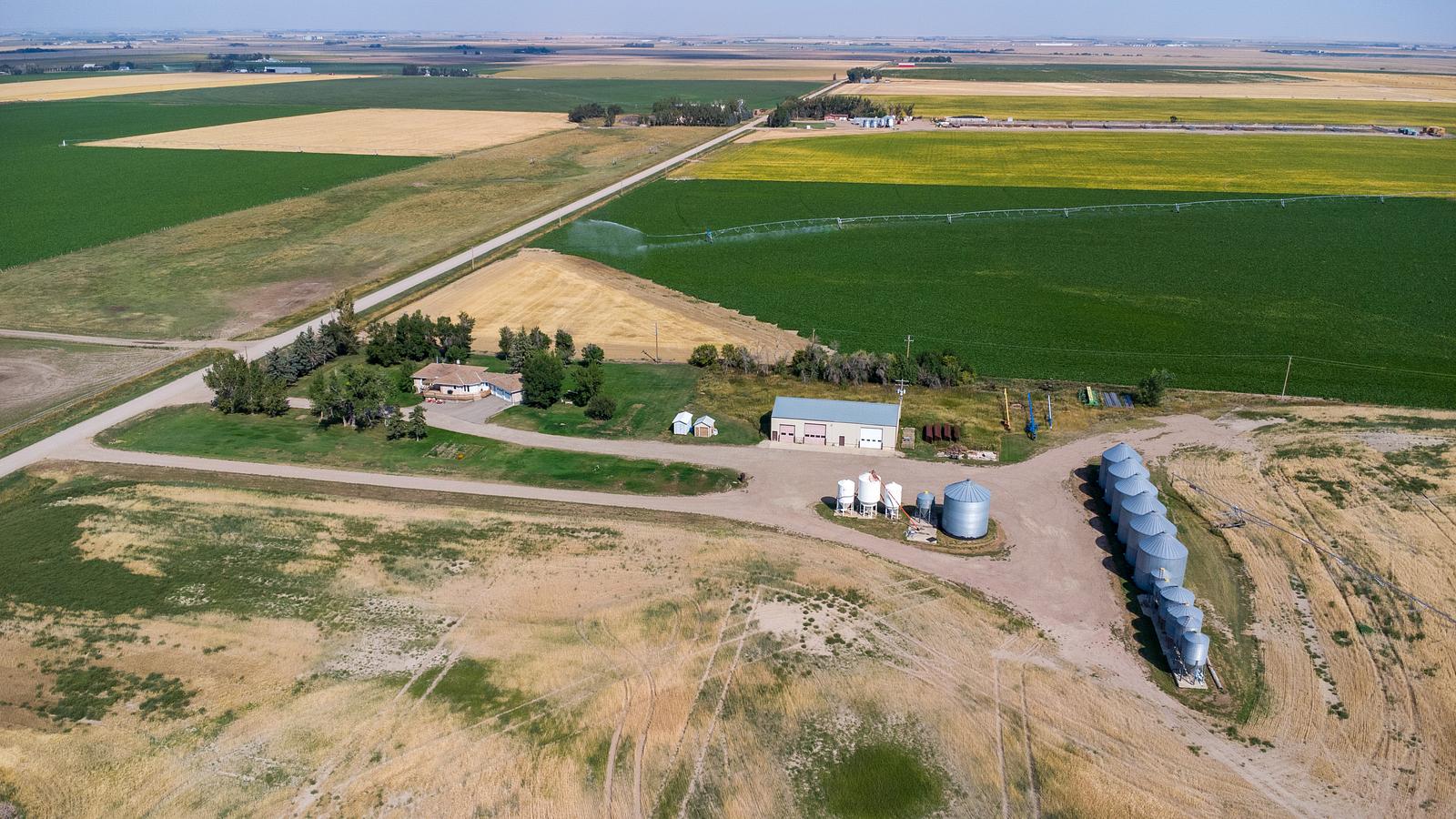
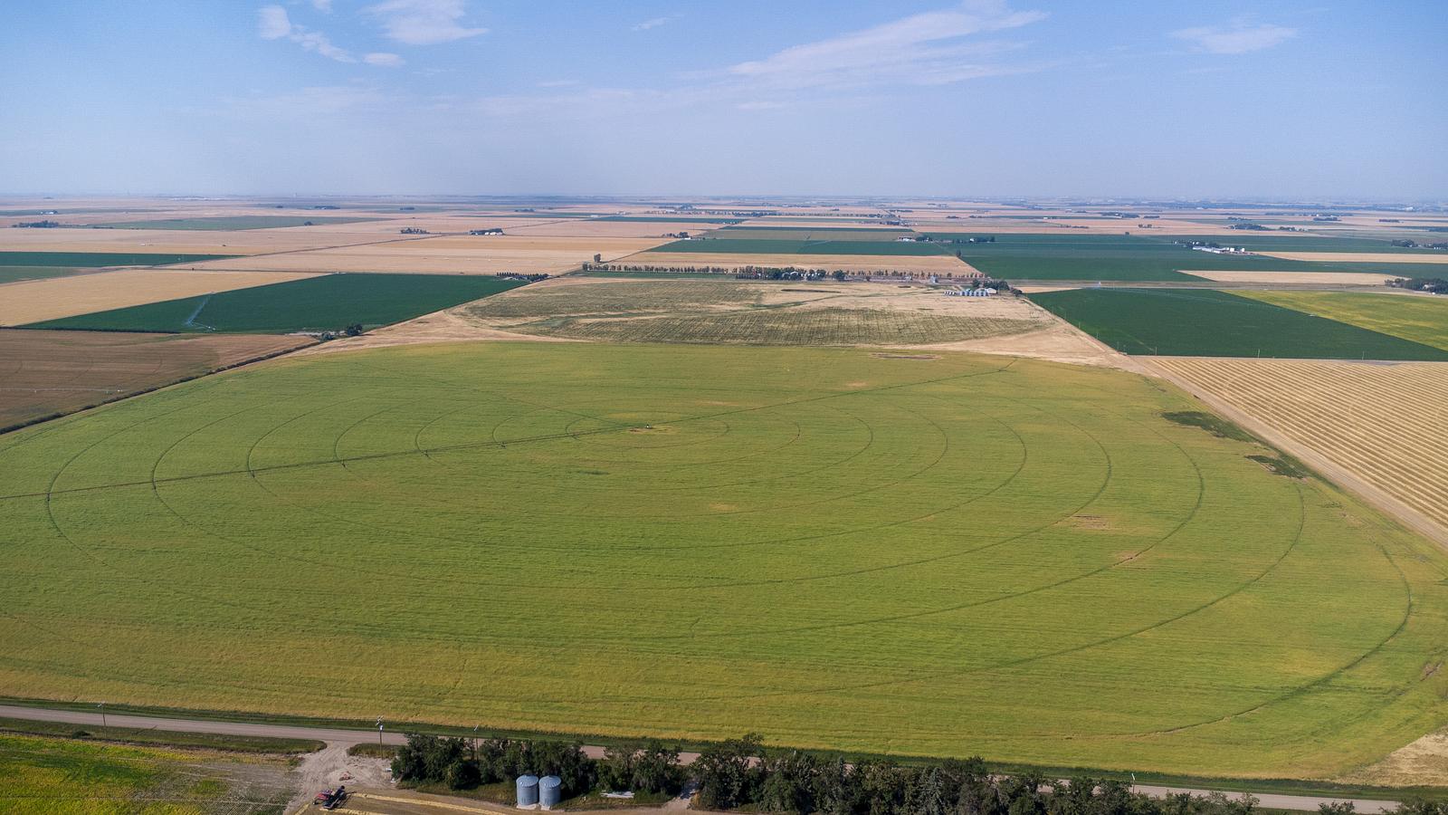
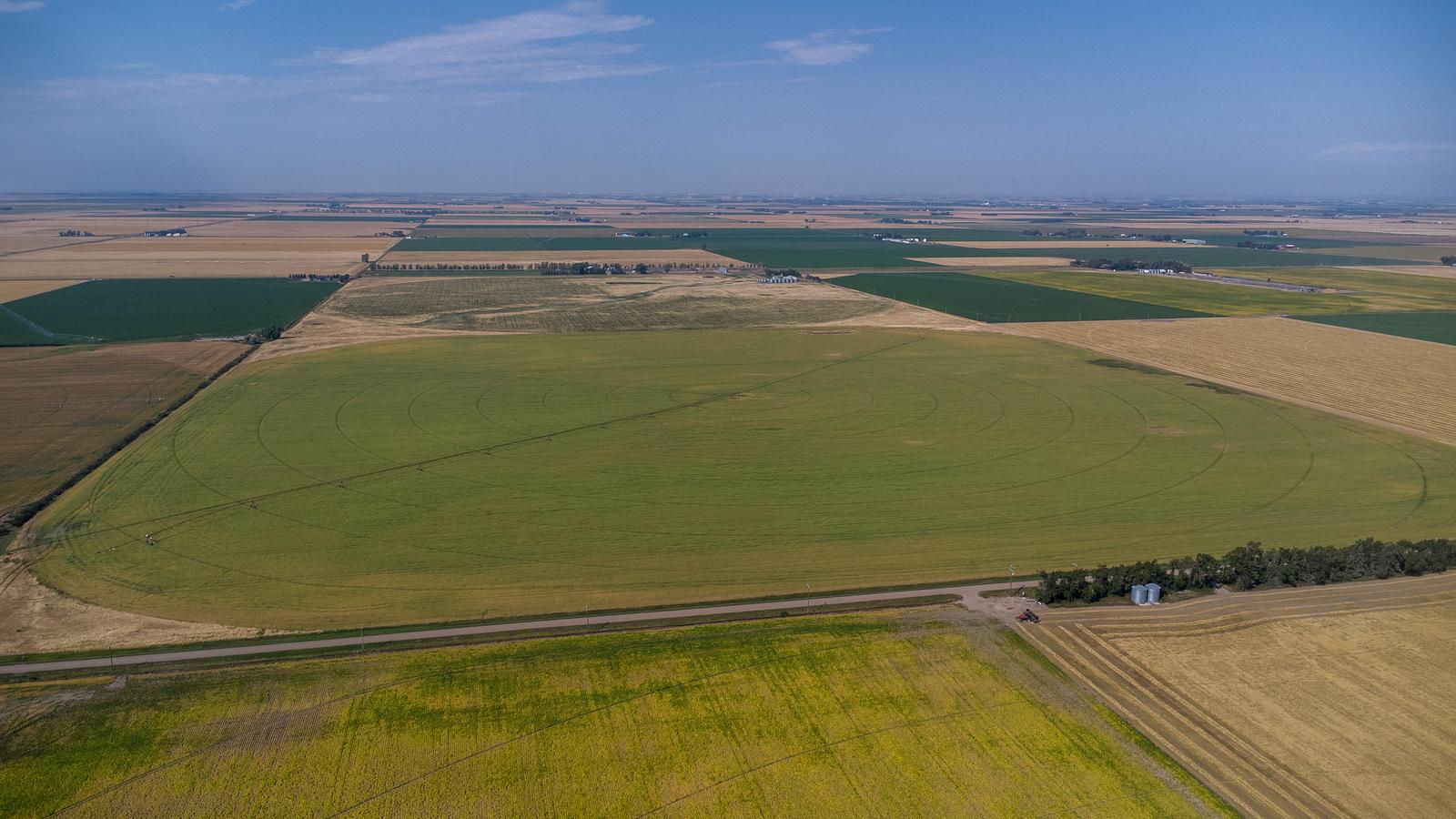
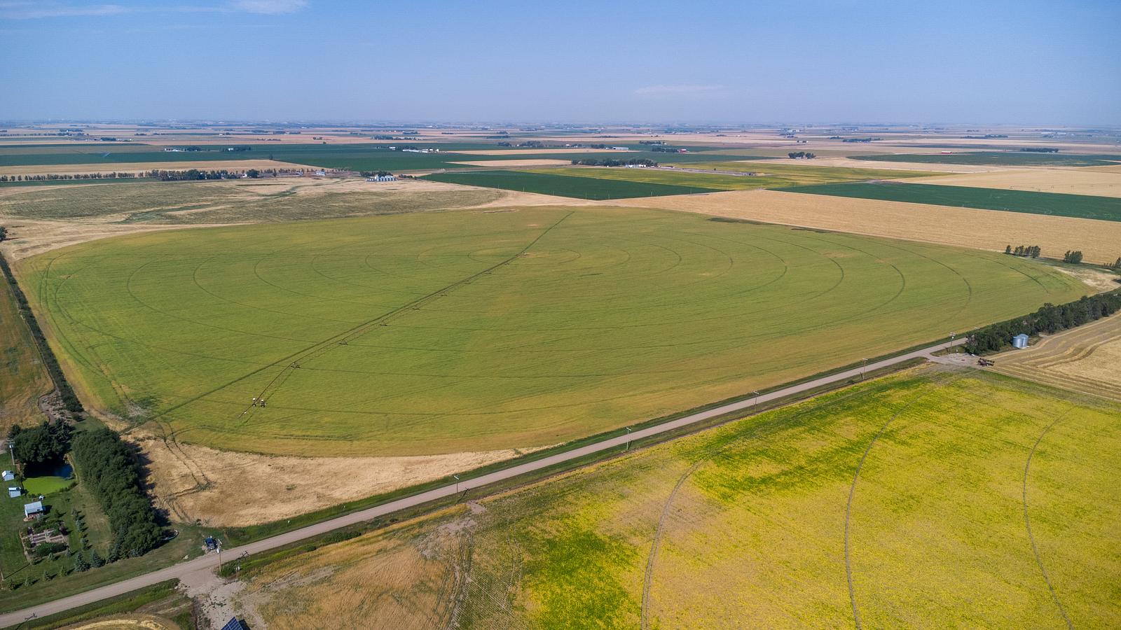
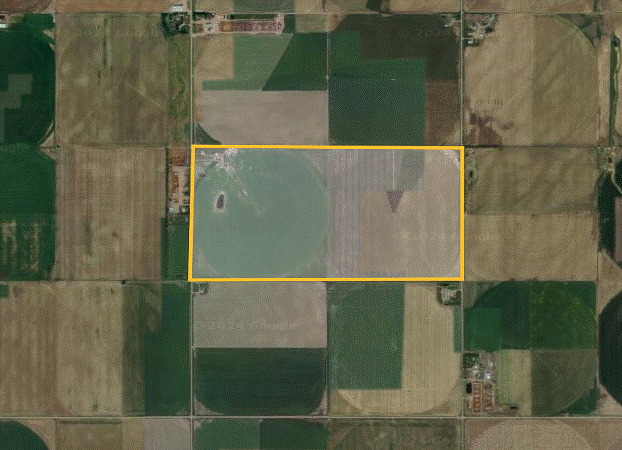
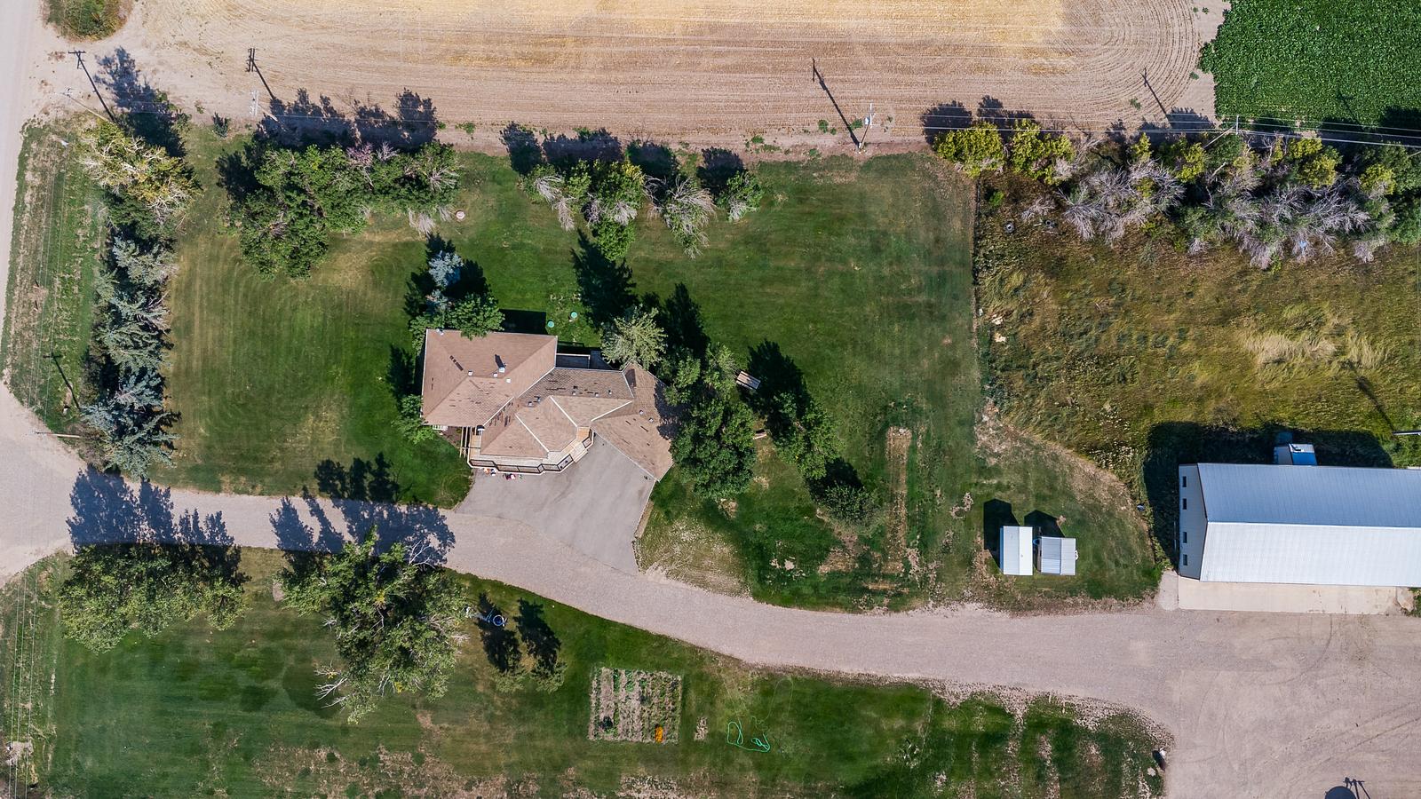
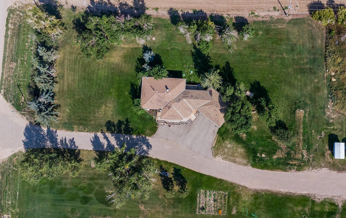
318.6 acres of farmland with 277 acres of water rights, SE of Coaldale, Alberta. Both quarters must be sold together. Includes 1640 sqft, 3 bedroom bungalow with double garage.
Building Overview
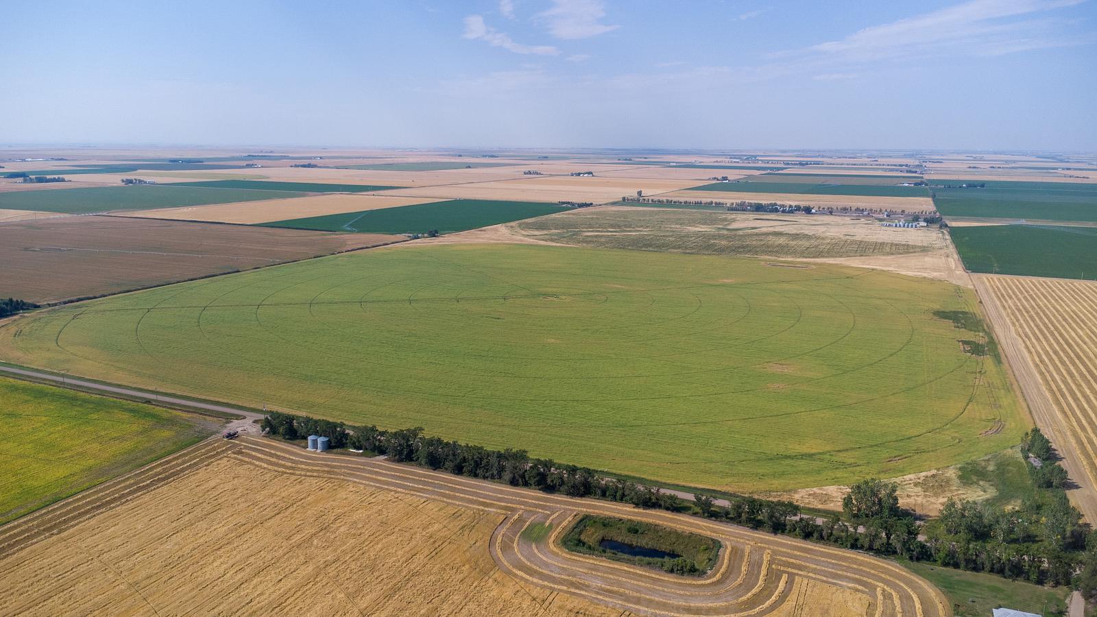
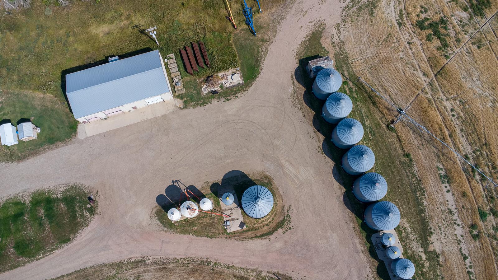
NW 25-08-19-W4 - 157.37 acres and 125 acres of water. Property taxes $1893. 52,000 bushel grain storage. 3 Bay shop 40 x 80. 2013 Zimmatic 8500 pivot. Includes 1640 sqft, 3 bedroom bungalow with double garage. NE 25 - 08-19-W4 - 160 acres and 152 of water. Property taxes $1782. 1984 Reinke with corner arm Pivot.
Details
Available Space:
317ac
Price:
$9,500,000
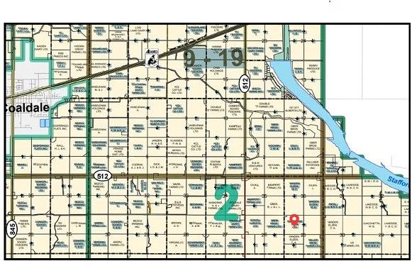
Location Street Address:
N1/2 25-8-19 W4
Space Taxes:
$5,575/yr
Lot Size:
318.6 AC
Lot Size Units:
AC
Space Types:
Land
Property Types:
Land
Infrastructure Details
Note: distances are in straight line, rather than driving distances
Note: distances are in straight line, rather than driving distances
Nearest highways:
- Highway 512 - 5.15 km (High Load Corridor)
- Highway 3 - 8.48 km (High Load Corridor)
- Highway Range Road 200 - 10.85 km (High Load Corridor)
- Highway Township Road 94 - 12.34 km (High Load Corridor)
- Highway 61 - 17.08 km
Nearest hospital:
- Coaldale Health Centre - 12.16 km
Nearest airports:
- Regional: Lethbridge County Airport - 25.58km
- International: Calgary International Airport - 194.5km
Nearest powerlines:
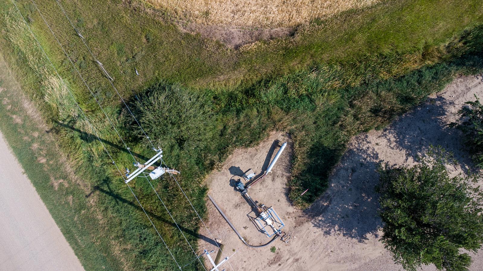
- AltaLink - 820AL 138kv - 1.22 km
Nearest substations:
- CHIN CHUTE - 315S , AltaLink - 7.92 km
Nearest irrigation systems:
- Within 2.35 km
Nearest railways:
- Canadian Pacific, Class : Main - 8.96 km
Nearest gas franchise area:
-
Within 829.9 m
Service Area: ATCO Gas – ATCO Natural Gas Distribution Customer Correspondence
Nearest Power Plant:
-
Chin Chute (CHIN), Irrigation Canal Power Co-op Ltd. - 7.94 km
Hydro, 15 MW
Fibre Internet Availability:
- Extensible
- Availability is estimated. Contact an internet service provider for more information.
Nearest Rail Terminals
| Type | Name | Operated By | Types of Products Shipped | Distance |
|---|---|---|---|---|
| Grain | CP Stirling | Richardson Pioneer |
|
18.18 KM |
| Transload | CP Coaldale | 5 Suns Transloading Ltd. |
|
12.99 KM |
| Transload | CP Wilson | Transmark Ltd |
|
16.47 KM |
| Grain | CP Lethbridge | Viterra |
|
16.42 KM |
| Grain | CP Wilson | Parrish & Heimbecker Ltd |
|
16.42 KM |
Highways
Airports
International
Regional
Local
Railways
Rail Stations
Powerlines
Substations
Irrigation
Community Economic Highlights: Lethbridge County, AB

8 high load corridors pass through Lethbridge County, and Lethbridge Airport is located there.

Leduc County has a median family income of $130976.2623 compared to the Alberta median of $119,100

Lethbridge County is a leader in agriculture compared to other municipalities in Alberta.
Community Economic Details: Lethbridge County, AB
Click on a tile to open the indicator page and view more details.
| Site Data Provided by: |
|
| The information provided on property listing pages is sourced from third-party data providers. While we make every effort to ensure the accuracy of the information presented, we cannot guarantee its completeness or correctness. Users are advised to conduct their own due diligence and verify all details independently. The Government of Alberta, its agencies, and affiliates shall not be held liable for any inaccuracies or omissions in the property listings or for any actions taken in reliance on the information provided herein. Use of the information provided on property listing pages is at all times subject to the terms of the Disclaimer and Terms of Use. | |