
For questions about municipal activities such as zoning, land-use, permits, incentives
Beth Cash, Economic Development Officer, Cypress County 403-526-2888 | [email protected] https://www.cypresscountybusiness.ca
Overview
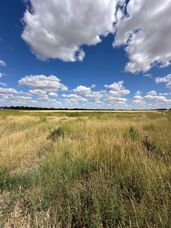
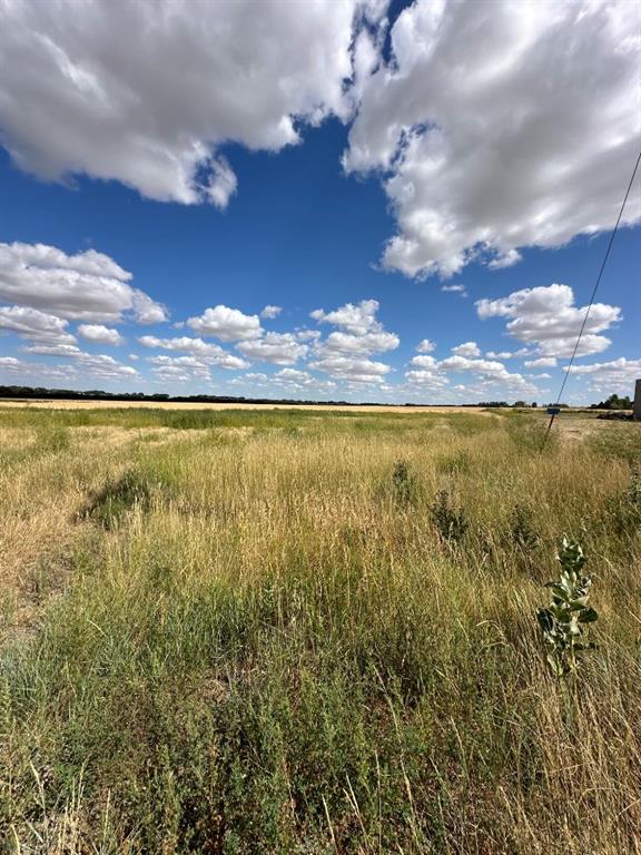
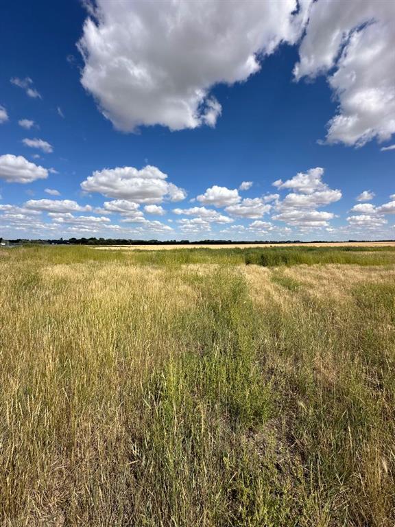
2.29 acres of land close to the city with easy access to the highway, this serviced land is located next to the Co-Op Ag Center and the general purpose and intent of the Light Industrial District is to accommodate a range of industrial and commercial uses which may have outdoor storage or work activities and located in business and industrial areas. Typical uses in this district do not create any nuisance factors that extend beyond the boundaries of the parcel to ensure that the development is compatible with other non-industrial uses land use bylaws can be provided upon request to show all possibilities for this unique parcel
Details
Available Space:
2ac
Price:
$267,700
Location Street Address:
Lot 6, 12003 Range Road 60A
Property Types:
Land
Infrastructure Details
Note: distances are in straight line, rather than driving distances
Note: distances are in straight line, rather than driving distances
Nearest highways:
- Highway Township Road 120 - Less than 1 km (High Load Corridor)
- Highway 1 - 4.86 km (High Load Corridor)
- Highway 3 - 5.28 km (High Load Corridor)
- Highway 10 Avenue South-West - 7.2 km (High Load Corridor)
- Highway 41A - 7.47 km
Nearest hospital:
- Medicine Hat Regional Hospital - 8.09 km
Nearest airports:
- International: Calgary International Airport - 269.02km
- Regional: Medicine Hat Regional Airport - 7.09km
Nearest powerlines:
- AltaLink - 879L 138kv, Double Circuit w/ 676L - 1.11 km
Nearest substations:
- SOUTH RIDGE - MHS-3 , City of Medicine Hat - 4.04 km
- BULLSHEAD - 523S , AltaLink - 5.19 km
Nearest irrigation systems:
- Within 1.97 km
Nearest railways:
- Canadian Pacific, Class : Main - 0.18 km
Nearest gas franchise area:
- Apex Utilities Inc.
Nearest Power Plant:
-
Medicine Hat #1 (CT14) (CMH1), City of Medicine Hat - 9.06 km
Combined Cycle, 299 (41.5) MW
Fibre Internet Availability:
- Ready/Available
- Availability is estimated. Contact an internet service provider for more information.
Nearest Rail Terminals
| Type | Name | Operated By | Types of Products Shipped | Distance |
|---|---|---|---|---|
| Yard | CP Medicine Hat Yard | Canadian Pacific |
|
8.52 KM |
| Grain | CP Dunmore | Richardson Pioneer |
|
7.72 KM |
| Grain | CP Dunmore | Paterson Grain |
|
10.63 KM |
| Transload | CP Whitla | Iron Horse Transloading |
|
28.41 KM |
| Grain | CP Bow Island | Parrish & Heimbecker Ltd |
|
53.58 KM |
Highways
Airports
Railways
Rail Stations
Powerlines
Substations
Irrigation
Community Economic Highlights: Cypress County, AB

Cypress County has 7 wind and solar projects cumulatively valued at $1.6B completed or under construction

Cypress County is a leader in agriculture with a high number of farms and croplands, and a large agricultural workforce.

Cypress County is a leader in natural gas production in Alberta.
Community Economic Details: Cypress County, AB
Click on a tile to open the indicator page and view more details.
| Site Data Provided by: | Pillar9 ™ |
| The information provided on property listing pages is sourced from third-party data providers. While we make every effort to ensure the accuracy of the information presented, we cannot guarantee its completeness or correctness. Users are advised to conduct their own due diligence and verify all details independently. The Government of Alberta, its agencies, and affiliates shall not be held liable for any inaccuracies or omissions in the property listings or for any actions taken in reliance on the information provided herein. Use of the information provided on property listing pages is at all times subject to the terms of the Disclaimer and Terms of Use. | |